• En
  • Workshop on the use of satellite products

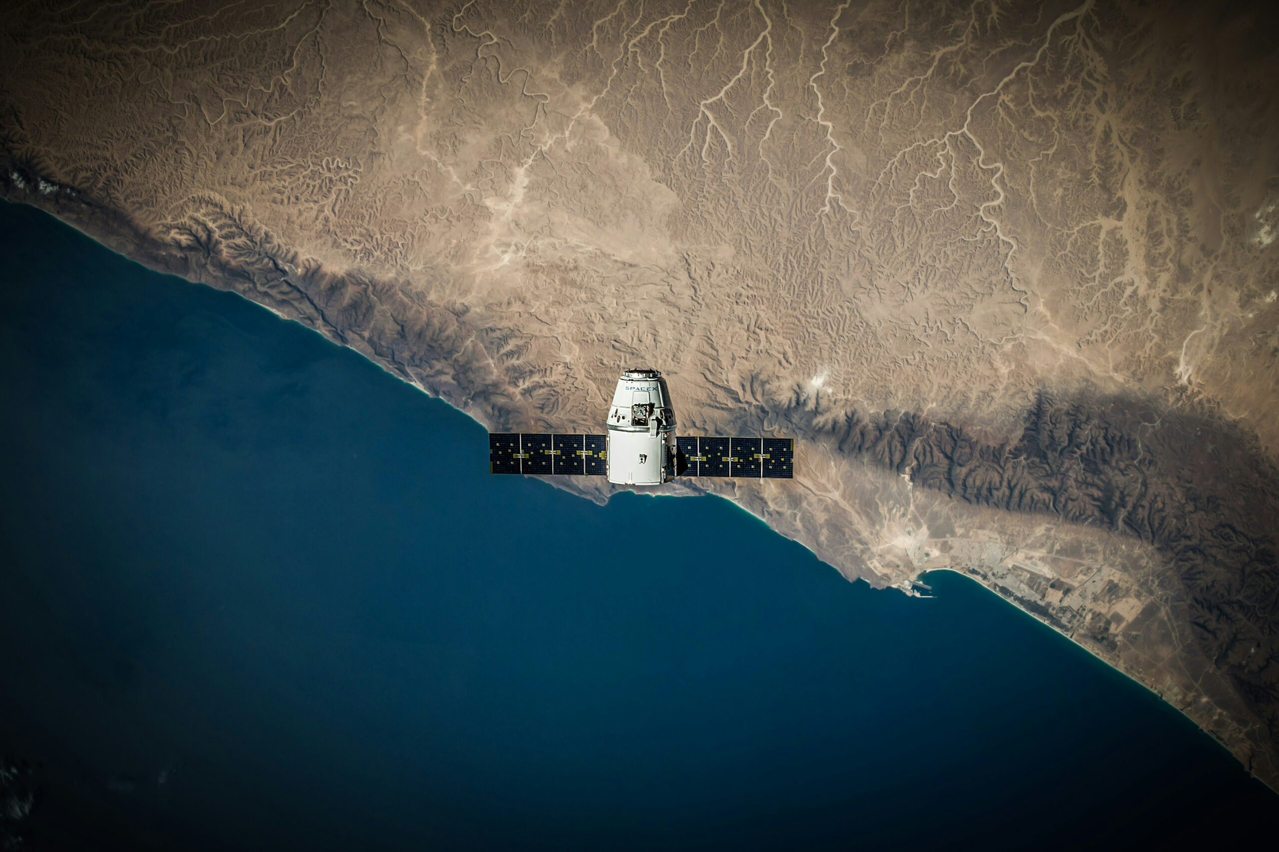
    Satellite images are becoming increasingly available. They now allow to monitor the characteristics of terrestrial vegetation with a good spatial and temporal resolution, which opens up many application perspectives related to biomass estimation, land use classification, water stress monitoring, and even prediction of commodity prices and food insecurity assessment.


    However, the use of satellite images poses many methodological challenges concerning data analysis and the development of predictive models. In particular, the existence of spatial and temporal components, the very large size of the satellite datasets (increasing with the improvement of their resolution), or the correlations between vegetation indices derived from different types of satellite observations raise many difficulties. In this context, various technical solutions have recently been proposed to reduce the dimensions of datasets derived from satellites, while preserving a maximum of information.


    The objective of this workshop is to present recent research works with a substantial data analysis component (statistical analysis, machine learning, data visualization etc.) and related to the analysis of satellite products to monitor the states of terrestrial vegetation. Each presentation will focus on a specific vegetation monitoring objective and present a range of technical solutions to analyze large datasets derived from satellite observations.

    Agenda

    9h30

    Introduction by David Makowski (MIA – Paris-Saclay)

    9h40

    The global distribution and environmental drivers of critical soil moisture thresholds of plant water stress
    Zengh FU (LSCE)

    10h10

    Estimation of spatialized turbulent flux on tall towers and its uncertainties
    Pedro COIMBRA (ECOSYS, INRAE)

    10h40

    Assimilation of fluorescence observations to constrain the gross primary production in a land surface model
    Fabienne MAIGNAN (LSCE)

    11h10

    Break

    11h30

    Use of satellite products to predict agricultural commodities price changes from production shocks
    Florian TESTE (MIA-Paris-Saclay, Université Paris-Saclay/Atos)

    12h

    Advances in machine learning for vegetation monitoring from space
    Gustau CAMPS VALLS (Image Processing Lab (IPL), Universitat de València)

    12h30

    End of the Workshop